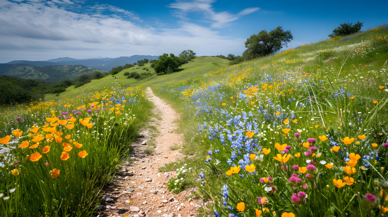
Walk to the top of Green Valley Road in the evening and the sidewalk just stops being a sidewalk. The concrete narrows, turns to packed dirt, and runs straight into a metal ranch gate with no sign explaining what's on the other side. Most people turn around there, assuming it's private land or a fire road that goes nowhere in particular. It isn't. That gate is the boundary of Mount Diablo State Park, and the dirt path leading up to it is one end of a five-mile route the East Bay Regional Park District calls the Las Trampas to Mt. Diablo Regional Trail.
If you've ever walked partway up Green Valley Road, cut through the open space near La Gonda Way, or crossed the field behind Hap Magee Ranch Park, you've already been on a piece of it. Most residents just don't know where the rest of it goes.
One Trail, Two Different Mountains
The trail was never designed as a single hike so much as stitched together over decades. Planning for it traces back to the park district's 1973 master plan, with rights-of-way and easements bought up through the 1970s. The connector itself wasn't finished until 1997, which means it was built quietly into a landscape that was already filling in with houses, rather than the other way around.
That history shows in how the trail behaves. Starting from Las Trampas Regional Wilderness at Camille Lane in Alamo, it threads through Hap Magee Ranch Park in Danville, ducks under I-680, climbs a ridge, crosses Stone Valley Road, then keeps climbing through open grassland and chaparral until it reaches Mount Diablo State Park at a gate called Macedo Ranch. The lower half feels almost domestic, a dirt path that runs behind fence lines and occasionally becomes an actual sidewalk before dropping back to open ground. The upper half, once you're past Macedo Ranch Gate, turns into something closer to what people picture when they think of Diablo: exposed slopes, no shade, real elevation gain, and views back down over the valley you just left.
The stretch that starts at Hap Magee Ranch Park and doubles back is tracked on AllTrails as a 3.3-mile round trip with roughly 613 feet of climbing, rated easy. Reviewers who've actually hiked it tend to push back on that rating once they hit the open, sun-exposed section near the state park line. One hiker's log from this same trail mentions a goat that had wandered into someone's backyard along the route, which tells you most of what you need to know about how close this path runs to actual homes for most of its length.
Three Ways In, and Only One of Them Costs Anything
The park district names three official access points, and all three sit inside or right at the edge of Westside Danville.
- Macedo Ranch Gate, at the north end of Green Valley Road above Danville. This is the equestrians' preferred entry and the most direct line into the state park side of the trail.
- La Gonda Way, on the south end, steps from the ranch-style buildings and dog park at Hap Magee Ranch Park.
- Oak Hill Park, roughly the midpoint, at Stone Valley Road and Glenwood Court, just over the line into Alamo.
Here's the part most people never think to check. If you drive up the mountain and park at the Macedo Ranch Staging Area on the state park side, you pay a $6 vehicle day-use fee, the same charge posted by hikers who've logged that trailhead on AllTrails. If you walk in from Green Valley Road or La Gonda Way instead, on foot, using the regional trail that already runs past your own street, there's no fee at all. The charge applies to vehicles entering through the state park gate, not to pedestrians arriving from the neighborhood side. Anyone who's lived here long enough to know which end of their street turns to dirt has effectively been getting free access to a state park entrance that other visitors pay to use.
What This Actually Looks Like in Late August
Right now, in the back half of August, the lower stretch near Hap Magee Ranch Park still holds some shade under its older oaks and stays walkable most of the day. The upper section past Macedo Ranch Gate is a different story. That's open grassland and chaparral with essentially no tree cover, and by mid-morning in dry season it heats up fast. Hikers who've done this climb in summer consistently mention starting early and still finding it warmer than expected, with steep short sections that don't show up clearly on the easy-to-moderate ratings.
Cattle graze parts of the Las Trampas land seasonally as a way of keeping fire fuel down, so a cow near a fence line isn't unusual if you're out early. Snake activity also picks up as the grass dries out, which matters more on this trail in August than it would in the wetter months, since several stretches narrow to a single dirt track between grass on both sides. None of this is a reason to avoid the trail. It's a reason to treat the upper half differently than the lower half, and to save the full push to Macedo Ranch Gate for a cooler morning rather than a 2 p.m. walk.
The Part Most People Never Walk
What makes this trail worth knowing about isn't the mileage or the elevation gain. It's that most residents only ever use their own short piece of it, walking a dog partway up Green Valley Road or cutting through near La Gonda Way, without realizing that same path is a named, mapped, five-mile route that ends inside a state park. Go far enough on the Alamo side and the broader Las Trampas network eventually borders the fenced grounds of the Eugene O'Neill National Historic Site, where the Tao House sits as the place the playwright wrote some of his last major work. You can't wander in without a reservation, but the property is there, visible from certain points along the ridge, a reminder that this stitched-together trail connects to more local history than its plain dirt surface suggests.
None of this requires a drive, a parking fee, or a map from a visitor center. It requires knowing that the gate at the top of your own street is doing more than keeping cattle in. For anyone who's spent years walking these same blocks without ever going past that gate, it might be worth finding out what's actually on the other side.
Questions about what's happening on your specific street, or what a piece of land backing onto open space is actually worth? That's the kind of detail the Mary Bonham Team tracks block by block across Westside Danville. Let's Connect.